Sihl – Brief
Sihl – Brief
Introduction
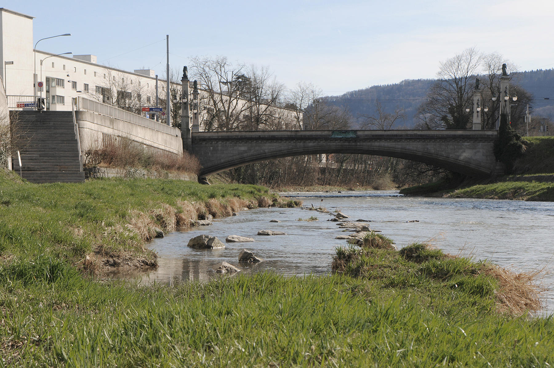
Only forty centimeters deep, the clear water of the Sihl rushes northwards over a rocky river bed. Dog walkers and cyclists drift past the reeds, alders, beeches that line the lush banks of this natural idyll in the centre of the city. Less than a kilometer to the east another river flows from Lake Zurich through the city between precisely constructed stone embankments. Ferries run along the Limmat while bridges connect the banks, sometimes so wide as to become a market square over water. Between the soft wetlands of the Sihl and the engineered urbanity of the Limmat the Schanzengraben cuts a deep moat retracing the last defensive geometry of the once fortified city.
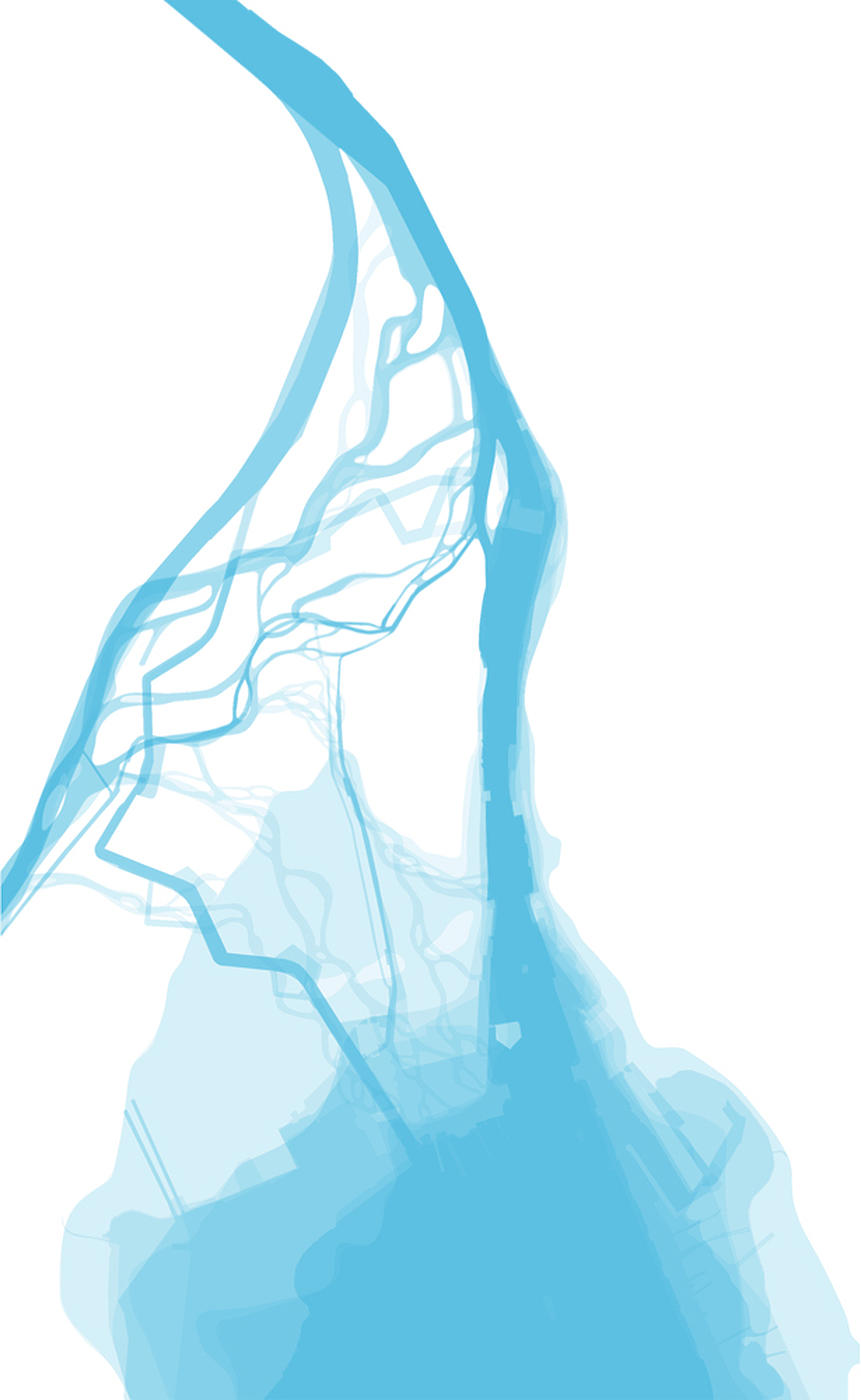
Yet despite appearances, it is the Sihl, more than the Limmat that is the product of human design and construction. The path of the Sihl through the city has been made and remade many times over the centuries to suit differing human requirements providing power to industry and transport for goods and materials and, perhaps most importantly, as a means of controlling the natural flooding caused by overflows of the river delta that flowed into Lake Zurich. Zurich’s central street pattern can be read as a great network of drainage channels to protect the city from the glacial flooding that still threatens the city centre. The Limmat sustains a dignified urban presence in the city along the natural path set by ancient geological deposits.
Despite all the human intervention both recent and ancient, the Sihl is neglected, making a faltering passage through the city associated with being without the walls, i.e. outside the city proper, literally in the medieval city and maybe more psychologically in modern times.
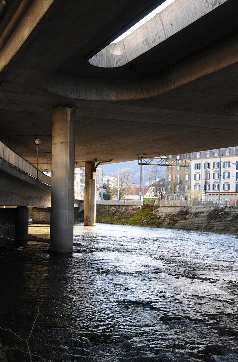
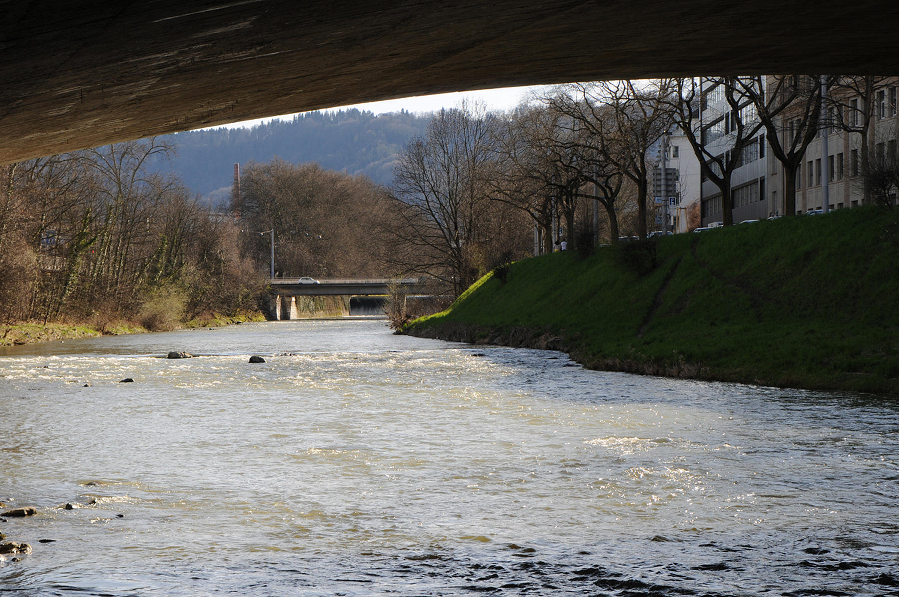
This is not to say that the Sihl is without qualities. As it winds through the city it has moments of beauty (Sihlhölzli), or surreal juxtaposition below the underbelly of infrastructure (Enge to Wiedikon) or simply laconic indeterminacy in between.
Theme A invites you to reconsider the potential of the Sihl to enrich the territories and spaces it traverses. It can be considered as a linear public space whose urban and ecological character could enhance the city it passes. On the other hand, it could be considered as a series of cross sections with specific spatial and programmatic properties on each side connected by the river banks. More radically but not without precedent (you only need to look at the Romans, 19th century engineers or 70’s utopians) the design task may be the river itself as a single artefact.
The Sihl is a piece of landscape infrastructure which is both singular and a sequence of changing conditions creating rooms in the city. The dam at Sihlsee manages the flow of water along its length but the river banks are not continuous. The task can consider the totality of the urban Sihl and its embankments, a continuous public space extending from Letten to Sihl City and beyond. On the other hand, the project may be more restricted to specific places across the river where the city would benefit from greater connectivity across the banks.
Whether redesigning the riverbank, a bridge or densifying the city with new land, the project always remains a negotiation between the forces (and danger) of hydrology and the spatial structure of the city. But this is not a question simply of more development, but of potential to radically alter the identity of the city around its neglected river.
The Sihl is an opportunity for students working in urban design, landscape design, architecture or construction to engage the architectural imagination with the broader idea of the city from hydro engineering to a poetic derive.